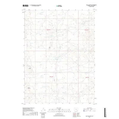
2017 Map of Baldy Mountain
USGS Topo · Published 2017About this map
Laramie Mountain and Baldy Mtn dominate this high-altitude landscape in Albany County, where a complex network of drainages defines the high plains topography. The map illustrates a vital water management system through a series of numbered catchments, including Strong Number 1 Reservoir, Strong Number 4 Reservoir, and Bliss Number 1 Reservoir. These features, along with the distinct formations of The Buttes, reveal the ranching and resource-based character of this Wyoming territory.
Find a feature on this map
17 named features on this map. Tap any name to fly to it.
Don’t see what you’re looking for? This feature index may not catch every label — zoom into the map to look around manually.
Map Details
Editions of this 2017 Baldy Mountain Map
This is the sole edition of this map. No revisions or reprints were ever made.
Other maps of this area

1895 · Laramie
USGS Topo · 1:125,000

1902 · Laramie
USGS Topo · 1:125,000

1905 · Sherman
USGS Topo · 1:125,000

1905 · Laramie
USGS Topo · 1:125,000

1906 · Laramie
USGS Topo · 1:125,000

1908 · Laramie
USGS Topo · 1:125,000

1948 · Ragged Top Mountain
USGS Topo · 1:62,500

1950 · Ragged Top Mountain
USGS Topo · 1:62,500

1954 · Cheyenne
USGS Topo · 1:250,000

1955 · Bosler SE
USGS Topo · 1:24,000