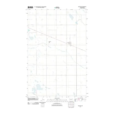
2011 Map of Balfour
USGS Topo · Published 2011About this map
The settlement of Balfour anchors this Central North Dakota landscape, situated along a primary transportation corridor that cuts diagonally across the prairie. The geography is defined by the sluggish path of the Wintering River, which meanders through the Wintering River Flats, creating a network of seasonal wetlands and marshes characteristic of the region's glaciated terrain. To the northwest, Connia Slough represents one of several significant water bodies that dot the section lines. The grid-based settlement pattern is evident in the rural road network, with local markers like Sahr Ave, Burk Ave, and N Main St providing the structure for the small community. This survey provides a clear view of the hydrological interface between the river system and the surrounding agricultural land before any modern large-scale developments altered the prairie drainage.
Find a feature on this map
25 named features on this map. Tap any name to fly to it.
Don’t see what you’re looking for? This feature index may not catch every label — zoom into the map to look around manually.
Map Details
Editions of this 2011 Balfour Map
This is the sole edition of this map. No revisions or reprints were ever made.
Other maps of this area

1929 · Balfour
USGS Topo · 1:62,500

1930 · Drake
USGS Topo · 1:62,500

1954 · Minot
USGS Topo · 1:250,000

1954 · McClusky
USGS Topo · 1:250,000

1957 · Bergen
USGS Topo · 1:24,000

1957 · Karlsruhe
USGS Topo · 1:24,000

1957 · Rangeley
USGS Topo · 1:24,000

1958 · McClusky
USGS Topo · 1:250,000

1958 · Minot
USGS Topo · 1:250,000

1958 · Butte
USGS Topo · 1:24,000