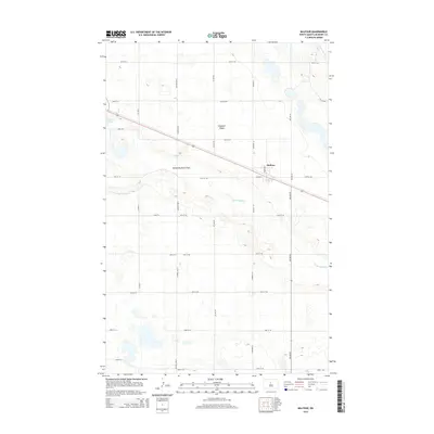
2014 Map of Balfour
USGS Topo · Published 2014About this map
Balfour sits at the junction of modern transportation and the meandering natural drainage of the North Dakota prairie. This landscape is defined by the winding course of the Wintering River, which carves through the Wintering River Flats in the central and eastern portions of the quadrangle. To the north, the elevation rises toward Hogback Ridge, a distinctive terrain feature that overlooks the surrounding wetlands and sloughs. The settlement of Balfour is centered near the intersection of Highway 53 and Old ND 52, reflecting a historical reliance on these primary corridors. Small bodies of water like Connie Slough are scattered across the terrain, illustrating the glacial prairie pothole geography typical of McHenry County. The grid of section roads, including Central Ave N and various numbered streets, provides a clear framework for the agricultural properties and rural homesteads that characterize this region of the Great Plains.
Find a feature on this map
31 named features on this map. Tap any name to fly to it.
Don’t see what you’re looking for? This feature index may not catch every label — zoom into the map to look around manually.
Map Details
Editions of this 2014 Balfour Map
This is the sole edition of this map. No revisions or reprints were ever made.
Other maps of this area

1929 · Balfour
USGS Topo · 1:62,500

1930 · Drake
USGS Topo · 1:62,500

1954 · Minot
USGS Topo · 1:250,000

1954 · McClusky
USGS Topo · 1:250,000

1957 · Bergen
USGS Topo · 1:24,000

1957 · Karlsruhe
USGS Topo · 1:24,000

1957 · Rangeley
USGS Topo · 1:24,000

1958 · McClusky
USGS Topo · 1:250,000

1958 · Minot
USGS Topo · 1:250,000

1958 · Butte
USGS Topo · 1:24,000