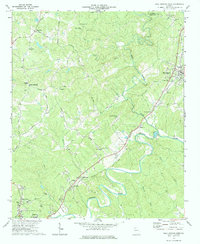
1973 Map of Ball Ground West
USGS Topo · Published 1984About this map
The Etowah River snakes through southern Cherokee County in the early 1970s, defining a landscape of sharp ridges and deep creek valleys. The Louisville and Nashville railroad serves as the primary industrial corridor, connecting settlements like Ball Ground, Gober, and Keithsburg. This transit route parallels Sharp Mountain Creek, where the local terrain transitions toward the elevations of Sharp Top near the northern boundary with Pickens County.
Find a feature on this map
43 named features on this map. Tap any name to fly to it.
Don’t see what you’re looking for? This feature index may not catch every label — zoom into the map to look around manually.
Map Details
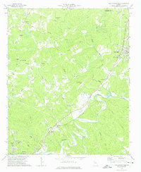
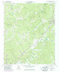
Editions of this 1973 Ball Ground West Map
3 editions found
Other maps of this area

1890 · Suwanee
USGS Topo · 1:125,000

1890 · Cartersville
USGS Topo · 1:125,000

1891 · Cartersville
USGS Topo · 1:125,000

1894 · Suwanee
USGS Topo · 1:125,000

1896 · Cartersville
USGS Topo · 1:125,000

1907 · Acworth
USGS Topo · 1:62,500

1909 · Acworth
USGS Topo · 1:62,500

1926 · Tate
USGS Topo · 1:62,500

1928 · Tate
USGS Topo · 1:62,500

1947 · Waleska
USGS Topo · 1:62,500