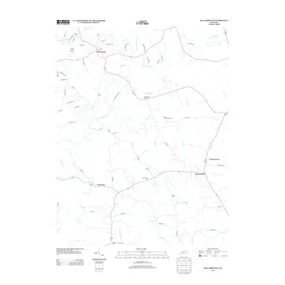
2013 Map of Ballardsville
USGS Topo · Published 2013About this map
Ballardsville serves as a central hub in this Kentucky landscape, situated where several forks of the Floyds Fork waterway converge. The area's geography is defined by a dendritic drainage pattern of small runs and creeks, including Lutz Run, Fibles Run, and Bullskin Creek, which carve through the terrain between prominent rises like Gathright Hill and Lincolnfellow Hill. This 2013 survey illustrates a rural-to-suburban transition, where long-established crossroads like Todds Point and Chestnut Grove meet modern residential developments along roads such as Grand Dell Drive and Ballard Woods Drive. Local genealogy and community history are preserved at several sites, most notably Fairview Cemetery, Hebron Cemetery, and Antioch Cemetery. The presence of the Jeffries Farm Airport and the Shelby County Baptist Camp further indicates the area's mixed land use during this period.
Find a feature on this map
68 named features on this map. Tap any name to fly to it.
Don’t see what you’re looking for? This feature index may not catch every label — zoom into the map to look around manually.
Map Details
Editions of this 2013 Ballardsville Map
This is the sole edition of this map. No revisions or reprints were ever made.
Other maps of this area

1923 · Waddy
USGS Topo · 1:48,000

1925 · Mount Eden
USGS Topo · 1:48,000

1927 · Mount Eden
USGS Topo · 1:62,500

1928 · New Castle
USGS Topo · 1:48,000

1929 · Taylorsville
USGS Topo · 1:62,500

1932 · New Castle
USGS Topo · 1:62,500

1932 · La Grange
USGS Topo · 1:62,500

1951 · Crestwood
USGS Topo · 1:24,000

1951 · Fisherville
USGS Topo · 1:24,000

1954 · Ballardsville
USGS Topo · 1:24,000