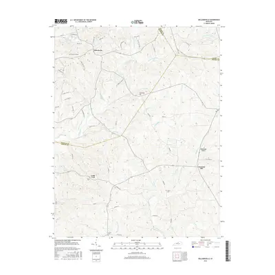
2016 Map of Ballardsville
USGS Topo · Published 2016About this map
Ballardsville and its surrounding rural corridors sit at the convergence of three Kentucky counties—Oldham, Shelby, and Henry—creating a landscape defined by its deeply incised stream valleys and ridge-top settlements. This 2016 survey records a transitional terrain where legacy agricultural land meets modern residential expansion, evidenced by the network of newer drives and circles branching off established routes like Dover Rd and Ballard Glen Pkwy.
Find a feature on this map
61 named features on this map. Tap any name to fly to it.
Don’t see what you’re looking for? This feature index may not catch every label — zoom into the map to look around manually.
Map Details
Editions of this 2016 Ballardsville Map
This is the sole edition of this map. No revisions or reprints were ever made.
Other maps of this area

1923 · Waddy
USGS Topo · 1:48,000

1925 · Mount Eden
USGS Topo · 1:48,000

1927 · Mount Eden
USGS Topo · 1:62,500

1928 · New Castle
USGS Topo · 1:48,000

1929 · Taylorsville
USGS Topo · 1:62,500

1932 · New Castle
USGS Topo · 1:62,500

1932 · La Grange
USGS Topo · 1:62,500

1951 · Crestwood
USGS Topo · 1:24,000

1951 · Fisherville
USGS Topo · 1:24,000

1954 · Ballardsville
USGS Topo · 1:24,000