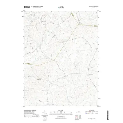
2019 Map of Ballardsville
USGS Topo · Published 2019About this map
Ballardsville and the surrounding Bluegrass landscape are defined by a complex network of waterways that once shaped early Kentucky settlement. The terrain is marked by the confluence of Floyds Fork, Bullskin Creek, and S Fork Currys Fork, creating a series of ridges and valleys that directed the placement of historic farmsteads and rural crossroads. The map documents several small, established communities including Todds Point and Chestnut Grove, while also noting significant local landmarks like Jeffries Farm Airport and elevated points like Gathright Hill. Genealogists will find several burial grounds noted, such as Fairview Cem and Hebron Cem, which serve as permanent markers of the area's ancestral families within this largely agricultural and residential region near the La Grange border.
Find a feature on this map
68 named features on this map. Tap any name to fly to it.
Don’t see what you’re looking for? This feature index may not catch every label — zoom into the map to look around manually.
Map Details
Editions of this 2019 Ballardsville Map
This is the sole edition of this map. No revisions or reprints were ever made.
Other maps of this area

1923 · Waddy
USGS Topo · 1:48,000

1925 · Mount Eden
USGS Topo · 1:48,000

1927 · Mount Eden
USGS Topo · 1:62,500

1928 · New Castle
USGS Topo · 1:48,000

1929 · Taylorsville
USGS Topo · 1:62,500

1932 · New Castle
USGS Topo · 1:62,500

1932 · La Grange
USGS Topo · 1:62,500

1951 · Crestwood
USGS Topo · 1:24,000

1951 · Fisherville
USGS Topo · 1:24,000

1954 · Ballardsville
USGS Topo · 1:24,000