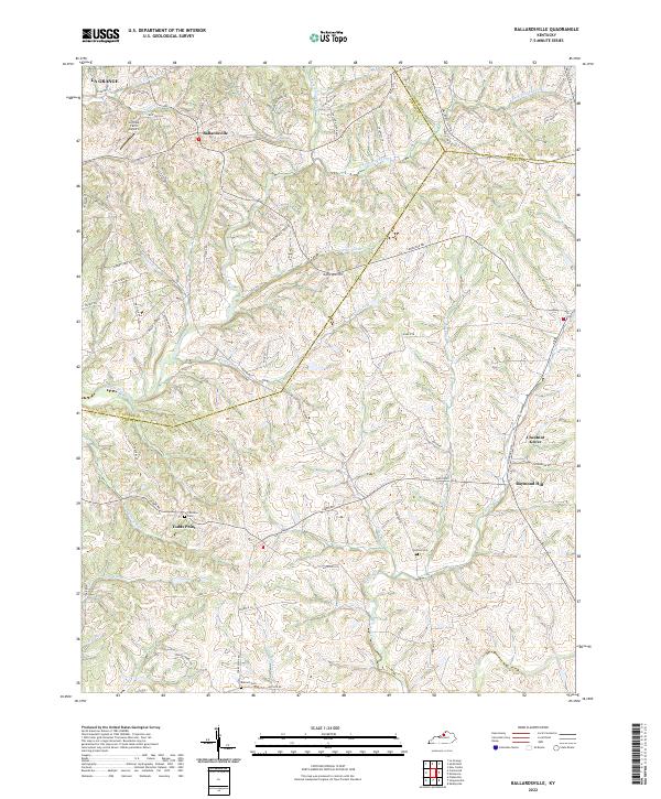
2022 Map of Ballardsville
USGS Topo · Published 2022About this map
Ballardsville serves as the central hub for this corner of Kentucky, where the headwaters of numerous creeks carve a complex landscape of ridges and hollows. The terrain is defined by the branching systems of Floyds Fork and its various tributaries, including Lick Fork and Gathright Br, which flow through deep-cut valleys between prominent high points like Gathright Hill. Settlement patterns follow the winding ridgeline roads, connecting rural clusters such as Todds Point and Chestnut Grove. Genealogists will find significant local value in the distribution of family and community burial grounds, from Hebron Cem near Raymond Hill to the southern Antioch Cem. The map also documents modern land use, featuring the Jeffries Farm Airport in the north near the boundary of La Grange, illustrating how transportation and rural heritage coexist in this well-watered agricultural region.
Find a feature on this map
74 named features on this map. Tap any name to fly to it.
Don’t see what you’re looking for? This feature index may not catch every label — zoom into the map to look around manually.
Map Details
Editions of this 2022 Ballardsville Map
This is the sole edition of this map. No revisions or reprints were ever made.
Other maps of this area

1923 · Waddy
USGS Topo · 1:48,000

1925 · Mount Eden
USGS Topo · 1:48,000

1927 · Mount Eden
USGS Topo · 1:62,500

1928 · New Castle
USGS Topo · 1:48,000

1929 · Taylorsville
USGS Topo · 1:62,500

1932 · New Castle
USGS Topo · 1:62,500

1932 · La Grange
USGS Topo · 1:62,500

1951 · Crestwood
USGS Topo · 1:24,000

1951 · Fisherville
USGS Topo · 1:24,000

1954 · Ballardsville
USGS Topo · 1:24,000