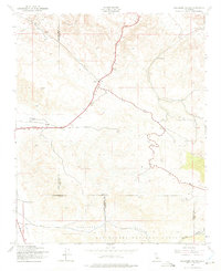
1943 Map of Ballinger Canyon
USGS Topo · Published 1975About this map
Cuyama Valley and the surrounding high desert terrain are the focus of this mid-century survey, conducted during the height of World War II. The landscape is defined by its complex drainage systems and high peaks like Pattiway and Pelato, which tower over the arid corridors of Cienaga Canyon and Ballinger Canyon. Small outposts and landmarks such as Klipstein Ranch and Camp Dix provide evidence of sparse settlement and ranching operations at the edge of the Los Padres National Forest. The map also captures several county lines meeting in this remote stretch, including the junctions of Kern, San Luis Obispo, Santa Barbara, and Ventura Counties. Surface water is represented by Bitterwater and Bitter Creek, while specific locales like Adobe, Clay, and Cuyama mark the transit routes across the valley floor, revealing a landscape where geology and geography dictate human movement.
Find a feature on this map
22 named features on this map. Tap any name to fly to it.
Don’t see what you’re looking for? This feature index may not catch every label — zoom into the map to look around manually.
Map Details
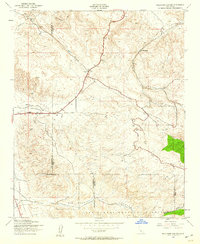
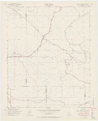
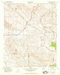
Editions of this 1943 Ballinger Canyon Map
4 editions found
Other maps of this area

1902 · Santa Ynez
USGS Topo · 1:125,000

1903 · Mt. Pinos
USGS Topo · 1:125,000

1905 · Santa Ynez
USGS Topo · 1:125,000

1910 · Buena Vista Lake
USGS Topo · 1:125,000

1912 · McKittrick
USGS Topo · 1:125,000

1912 · Buena Vista Lake
USGS Topo · 1:125,000

1931 · Pentland Junction
USGS Topo · 1:31,680

1934 · Pentland
USGS Topo · 1:31,680

1942 · Ballinger Canyon
USGS Topo · 1:24,000

1942 · East of Cuyama Ranch
USGS Topo · 1:24,000