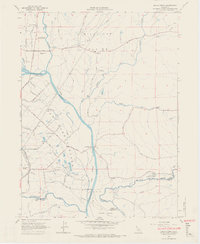
1965 Map of Balls Ferry
USGS Topo · Published 1966About this map
Sacramento River flows through the heart of this landscape, where the Stillwater Plains and Millville Plains meet. This mid-1960s survey captures the region just as the irrigation infrastructure was expanding, evidenced by the numerous Siphons and an Aqueduct traversing the terrain. Historical memory is strong here, with the Fort Reading Historical Marker and Reading Adobe Historical Marker noting the area's early settlement legacy near Balls Ferry.
Find a feature on this map
44 named features on this map. Tap any name to fly to it.
Don’t see what you’re looking for? This feature index may not catch every label — zoom into the map to look around manually.
Map Details
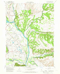
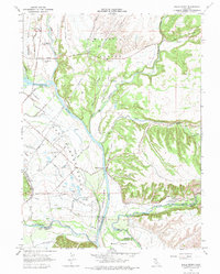
Editions of this 1965 Balls Ferry Map
3 editions found
Other maps of this area

1890 · Red Bluff
USGS Topo · 1:250,000

1894 · Red Bluff
USGS Topo · 1:250,000

1901 · Redding
USGS Topo · 1:125,000

1944 · Redding
USGS Topo · 1:62,500

1944 · Tuscan Buttes
USGS Topo · 1:62,500

1946 · Redding
USGS Topo · 1:62,500

1947 · Tuscan Buttes
USGS Topo · 1:62,500

1947 · Anderson
USGS Topo · 1:62,500

1948 · Anderson
USGS Topo · 1:62,500

1953 · Millville
USGS Topo · 1:62,500