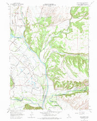
1965 Map of Balls Ferry
USGS Topo · Published 1975About this map
The Sacramento River meanders through this portion of Northern California, marking the historical and physical boundary between the Shasta Co and Tehama Co. This 1965 field-checked survey reveals a landscape of early settlement and regional memory, anchored by the Fort Reading Historical Marker and the Reading Adobe Historical Marker near the river's edge. The small community of Balls Ferry sits alongside the water, where several siphons and an aqueduct system indicate the agricultural infrastructure necessary for the surrounding plains.
Find a feature on this map
42 named features on this map. Tap any name to fly to it.
Don’t see what you’re looking for? This feature index may not catch every label — zoom into the map to look around manually.
Map Details
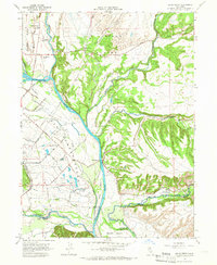
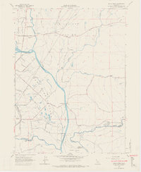
Editions of this 1965 Balls Ferry Map
3 editions found
Other maps of this area

1890 · Red Bluff
USGS Topo · 1:250,000

1894 · Red Bluff
USGS Topo · 1:250,000

1901 · Redding
USGS Topo · 1:125,000

1944 · Redding
USGS Topo · 1:62,500

1944 · Tuscan Buttes
USGS Topo · 1:62,500

1946 · Redding
USGS Topo · 1:62,500

1947 · Tuscan Buttes
USGS Topo · 1:62,500

1947 · Anderson
USGS Topo · 1:62,500

1948 · Anderson
USGS Topo · 1:62,500

1953 · Millville
USGS Topo · 1:62,500