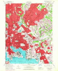
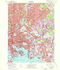
1953 Map of Baltimore East
USGS Topo · Published 1967About this map
The historic harbor of Northwest Harbor and the Patapsco River anchor this 1953 survey, which captures the industrial and residential core of eastern Baltimore. Landmark institutions such as the Johns Hopkins Hospital and Morgan State College are shown alongside the sprawling grounds of Baltimore Cemetery and Oaklawn Cemetery. The map reflects a mid-century urban landscape where established neighborhoods like Waverly and Homeland meet industrial zones around the Canton Yard.
Find a feature on this map
175 named features on this map. Tap any name to fly to it.
Don’t see what you’re looking for? This feature index may not catch every label — zoom into the map to look around manually.
Map Details
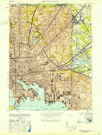
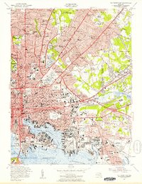
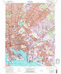
Editions of this 1953 Baltimore East Map
5 editions found
Other maps of this area

1893 · North Point
USGS Topo · 1:62,500

1893 · Gunpowder
USGS Topo · 1:62,500

1894 · Baltimore
USGS Topo · 1:62,500

1894 · Relay
USGS Topo · 1:62,500

1898 · Tolchester
USGS Topo · 1:125,000

1899 · Baltimore
USGS Topo · 1:62,500

1901 · Gunpowder
USGS Topo · 1:62,500

1903 · Tolchester
USGS Topo · 1:125,000

1904 · Baltimore
USGS Topo · 1:62,500

1904 · North Point
USGS Topo · 1:62,500