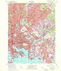
1953 Map of Baltimore East
USGS Topo · Published 1976About this map
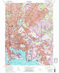
The dense urban grid of Baltimore meets the industrial waterfront of the Patapsco River and Northwest Harbor in this mid-century look at the city’s eastern half. The map illustrates a period of significant growth, with purple revision tints showing the outward expansion of neighborhoods like Rosedale and Overlea during the 1960s and 70s. This transition from established inner-city blocks to post-war suburban development is marked by a heavy concentration of institutional land use, from the historic Fort McHenry at Whetstone Point to the expansive grounds of Johns Hopkins Hospital and the State Penitentiary and City Jail.
Find a feature on this map
153 named features on this map. Tap any name to fly to it.
Don’t see what you’re looking for? This feature index may not catch every label — zoom into the map to look around manually.
Map Details
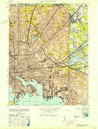
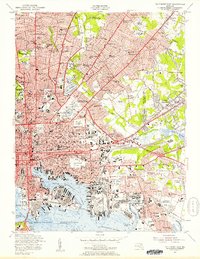
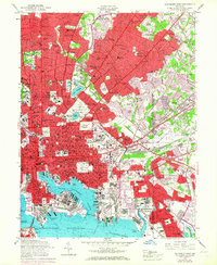
Editions of this 1953 Baltimore East Map
5 editions found
Other maps of this area

1893 · North Point
USGS Topo · 1:62,500

1893 · Gunpowder
USGS Topo · 1:62,500

1894 · Baltimore
USGS Topo · 1:62,500

1894 · Relay
USGS Topo · 1:62,500

1898 · Tolchester
USGS Topo · 1:125,000

1899 · Baltimore
USGS Topo · 1:62,500

1901 · Gunpowder
USGS Topo · 1:62,500

1903 · Tolchester
USGS Topo · 1:125,000

1904 · Baltimore
USGS Topo · 1:62,500

1904 · North Point
USGS Topo · 1:62,500