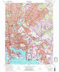
1953 Map of Baltimore East
USGS Topo · Published 1976About this map
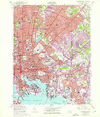
Fort McHenry stands guard at Whetstone Pt, overlooking the complex maritime traffic of the Northwest Harbor and the Patapsco River during this mid-century period. The map reveals the dense industrial and transit infrastructure of the city, from the extensive Riverside Yard and Locust Point Marine Terminal to the sprawling rail lines of the Penn Central and Baltimore and Ohio. The urban fabric is punctuated by significant institutional landmarks, including Morgan State College, Loyola College, and the Maryland Sch for the Blind. Large-scale green spaces like Clifton Park and Golf Course and Patterson Park provide contrast to the heavy development. Notable social and civic sites range from the Municipal Stadium and State Penitentiary and City Jail to numerous religious grounds such as the Most Holy Redeemer Cemetery and Greenmount Cemetery, reflecting the city's established history and community structure.
Find a feature on this map
160 named features on this map. Tap any name to fly to it.
Don’t see what you’re looking for? This feature index may not catch every label — zoom into the map to look around manually.
Map Details
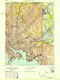
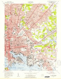
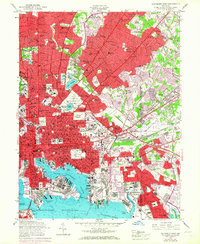
Editions of this 1953 Baltimore East Map
5 editions found
Other maps of this area

1893 · North Point
USGS Topo · 1:62,500

1893 · Gunpowder
USGS Topo · 1:62,500

1894 · Baltimore
USGS Topo · 1:62,500

1894 · Relay
USGS Topo · 1:62,500

1898 · Tolchester
USGS Topo · 1:125,000

1899 · Baltimore
USGS Topo · 1:62,500

1901 · Gunpowder
USGS Topo · 1:62,500

1903 · Tolchester
USGS Topo · 1:125,000

1904 · Baltimore
USGS Topo · 1:62,500

1904 · North Point
USGS Topo · 1:62,500