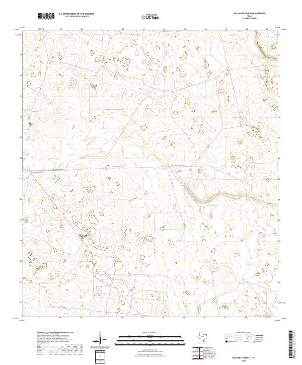
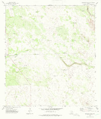
2022 Map of Baluarte Ranch
USGS Topo · Published 2022About this map
Jim Hogg Co and Brooks Co meet in this landscape of cattle ranching and brush country in South Texas. The area is defined by a sparse network of roads providing access to large pastoral holdings, with the long stretch of Baluarte Ranch Rd cutting horizontally across the terrain. Two significant seasonal watercourses, Palo Blanco Cr and Arroyo los Palos, provide the primary natural drainage for the region. The map reveals the modern infrastructure supporting these rural lands, including Huff Ln and Imperial Rd, which connect the interior pastures to the state highway system at FM 1017. This 2022 survey captures the enduring character of the Texas ranching economy, showing how traditional land divisions and private access roads continue to shape the geography of the borderlands.
Find a feature on this map
7 named features on this map. Tap any name to fly to it.
Don’t see what you’re looking for? This feature index may not catch every label — zoom into the map to look around manually.
Map Details
Editions of this 2022 Baluarte Ranch Map
This is the sole edition of this map. No revisions or reprints were ever made.
Other maps of this area

1921 · Falfurrias
USGS Topo · 1:125,000

1956 · Laredo
USGS Topo · 1:250,000

1967 · Hebbronville SE
USGS Topo · 1:24,000

1967 · Hebbronville
USGS Topo · 1:24,000

1968 · Palomas Ranch NW
USGS Topo · 1:24,000

1968 · Palomas Ranch SW
USGS Topo · 1:24,000
1969 · Ramirez
USGS Topo · 1:24,000
1972 · Alta Vista Ranch SW
USGS Topo · 1:24,000
1972 · Alta Vista Ranch
USGS Topo · 1:24,000
1972 · Baluarte Ranch
USGS Topo · 1:24,000