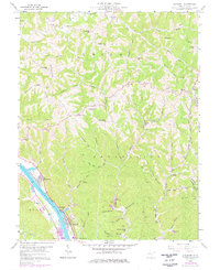
1958 Map of Bancroft
USGS Topo · Published 1976About this map
The Kanawha River serves as the industrial and logistical spine of this region, where the Conrail railroad lines parallel the water to support riverfront settlements like Bancroft, Hometown, and Plymouth. The 1975 revisions highlight a mix of mid-century infrastructure and rural coal-country life, featuring a Drag Racing Strip and a Drive-in Theater near the river, while the interior is dominated by a complex network of ridges and hollows.
Find a feature on this map
70 named features on this map. Tap any name to fly to it.
Don’t see what you’re looking for? This feature index may not catch every label — zoom into the map to look around manually.
Map Details
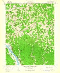
Editions of this 1958 Bancroft Map
2 editions found
Other maps of this area

1899 · Charleston
USGS Topo · 1:125,000

1906 · Kenna
USGS Topo · 1:62,500

1906 · Winfield
USGS Topo · 1:62,500

1907 · Kenna
USGS Topo · 1:62,500

1908 · Winfield
USGS Topo · 1:62,500

1909 · Charleston
USGS Topo · 1:62,500

1909 · Saint Albans
USGS Topo · 1:62,500

1931 · Saint Albans
USGS Topo · 1:62,500

1931 · Charleston
USGS Topo · 1:62,500

1933 · Saint Albans
USGS Topo · 1:62,500