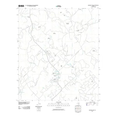
2010 Map of Bandera Pass
USGS Topo · Published 2010About this map
Bandera Pass serves as a prominent natural gateway in the landscape of Kerr County, marking a historic transit point between the rising hills of the Edwards Plateau. This 2010 survey illustrates a region where local ranching heritage and modern recreation converge, centered around features like the Purple Sage Ranch and the waters of Bandera Creek. The terrain is defined by numerous named summits, including Sugarloaf Hill, Nanny Trap Mountain, and Duffys Mountain, which dictate the winding paths of roads such as Ranch Rd 2828 and Elm Pass Rd.
Find a feature on this map
71 named features on this map. Tap any name to fly to it.
Don’t see what you’re looking for? This feature index may not catch every label — zoom into the map to look around manually.
Map Details
Editions of this 2010 Bandera Pass Map
This is the sole edition of this map. No revisions or reprints were ever made.
Other maps of this area

1954 · San Antonio
USGS Topo · 1:250,000

1956 · Comfort
USGS Topo · 1:62,500

1956 · Bandera
USGS Topo · 1:62,500

1956 · Medina Lake
USGS Topo · 1:62,500

1956 · Center Point
USGS Topo · 1:62,500

1957 · San Antonio
USGS Topo · 1:250,000

1964 · Comfort
USGS Topo · 1:24,000

1964 · Center Point
USGS Topo · 1:24,000

1964 · Bandera
USGS Topo · 1:24,000

1964 · Rock Cliff Reservoir
USGS Topo · 1:24,000