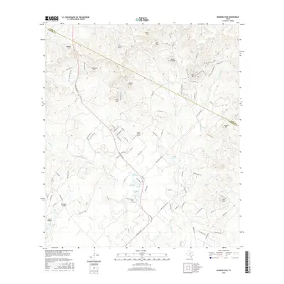
2016 Map of Bandera Pass
USGS Topo · Published 2016About this map
Bandera Pass anchors this topographical study of the Hill Country landscape on the Kerr and Bandera county line. The terrain is defined by a series of prominent elevations, including Sugarloaf Hill, Nanny Trap Mtn, and Polly Peak, which overlook a network of seasonal drainages and local hollows. Modern infrastructure is represented by the Bains Private Airport and a grid of rural ranch roads like Ranch Rd 689 and Vic Stevens Ranch Rd. Water features are primarily localized, with several named bodies such as Mosher Big Lake, Morgan Lake, and H and K Lake situated among the draws. The map illustrates a contemporary ranching landscape where historical property lines and access routes, such as Chuck Wagon Rd and Old Loop 173, continue to shape the distribution of modern homesteads and private aviation facilities.
Find a feature on this map
97 named features on this map. Tap any name to fly to it.
Don’t see what you’re looking for? This feature index may not catch every label — zoom into the map to look around manually.
Map Details
Editions of this 2016 Bandera Pass Map
This is the sole edition of this map. No revisions or reprints were ever made.
Other maps of this area

1954 · San Antonio
USGS Topo · 1:250,000

1956 · Comfort
USGS Topo · 1:62,500

1956 · Bandera
USGS Topo · 1:62,500

1956 · Medina Lake
USGS Topo · 1:62,500

1956 · Center Point
USGS Topo · 1:62,500

1957 · San Antonio
USGS Topo · 1:250,000

1964 · Comfort
USGS Topo · 1:24,000

1964 · Center Point
USGS Topo · 1:24,000

1964 · Bandera
USGS Topo · 1:24,000

1964 · Rock Cliff Reservoir
USGS Topo · 1:24,000