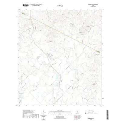
2019 Map of Bandera Pass
USGS Topo · Published 2019About this map
Bandera Pass serves as a prominent geographic gateway between Kerr and Bandera counties, defining the transit corridor through this section of the Texas Hill Country. The 2019 landscape is characterized by a series of high points including Nanny Trap Mtn, Sunset Mtn, and Polly Peak, which overlook the headwaters of Bandera Cr and Mason Cr. Local water resources are marked by several named catchments such as Mosher Big Lake, Mosher Little Lake, and Hand K Lake, illustrating the managed hydrology of modern ranching. Transportation is anchored by Ranch Rd 689 and Ranch Rd 2828, providing access to sprawling properties like Russell Ranch. The map also details numerous private developments and tracks, such as Dead Poacher Trl and Flying T Ranch Rd, reflecting the parceling of once-vast ranch lands into smaller holdings and residential enclaves while maintaining the area's rural character.
Find a feature on this map
92 named features on this map. Tap any name to fly to it.
Don’t see what you’re looking for? This feature index may not catch every label — zoom into the map to look around manually.
Map Details
Editions of this 2019 Bandera Pass Map
This is the sole edition of this map. No revisions or reprints were ever made.
Other maps of this area

1954 · San Antonio
USGS Topo · 1:250,000

1956 · Comfort
USGS Topo · 1:62,500

1956 · Bandera
USGS Topo · 1:62,500

1956 · Medina Lake
USGS Topo · 1:62,500

1956 · Center Point
USGS Topo · 1:62,500

1957 · San Antonio
USGS Topo · 1:250,000

1964 · Comfort
USGS Topo · 1:24,000

1964 · Center Point
USGS Topo · 1:24,000

1964 · Bandera
USGS Topo · 1:24,000

1964 · Rock Cliff Reservoir
USGS Topo · 1:24,000