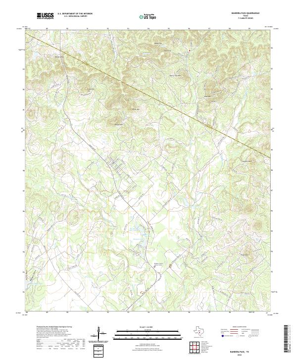
2022 Map of Bandera Pass
USGS Topo · Published 2022About this map
Bandera Pass serves as the focal point of this modern survey of the central Texas landscape along the Kerr and Bandera county line. The terrain is characterized by numerous prominent peaks and hollows, including Sugarloaf Hill, Sunset Mtn, and Polly Peak. A network of ranch roads, such as Ranch Rd 689 and Vic Stevens Ranch Rd, wind through the drainages of Bandera Creek and Mason Creek.
Find a feature on this map
100 named features on this map. Tap any name to fly to it.
Don’t see what you’re looking for? This feature index may not catch every label — zoom into the map to look around manually.
Map Details
Editions of this 2022 Bandera Pass Map
This is the sole edition of this map. No revisions or reprints were ever made.
Other maps of this area

1954 · San Antonio
USGS Topo · 1:250,000

1956 · Comfort
USGS Topo · 1:62,500

1956 · Bandera
USGS Topo · 1:62,500

1956 · Medina Lake
USGS Topo · 1:62,500

1956 · Center Point
USGS Topo · 1:62,500

1957 · San Antonio
USGS Topo · 1:250,000

1964 · Comfort
USGS Topo · 1:24,000

1964 · Center Point
USGS Topo · 1:24,000

1964 · Bandera
USGS Topo · 1:24,000

1964 · Rock Cliff Reservoir
USGS Topo · 1:24,000