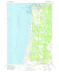
1970 Map of Bandon
USGS Topo · Published 1973About this map
The Coquille River meets the sea at Bandon, where the local landscape in the early 1970s was defined by a unique intersection of maritime industry and agriculture. Extensive Cranberry Bogs are mapped throughout the lowlands, demonstrating the area's specialized agricultural economy alongside more traditional features like the Fish Hatchery on Geiger Creek. The coast is protected by a sequence of preserves, from Bullards Beach State Park in the north to the Sand Dunes of Bandon State Park further south.
Find a feature on this map
54 named features on this map. Tap any name to fly to it.
Don’t see what you’re looking for? This feature index may not catch every label — zoom into the map to look around manually.
Map Details
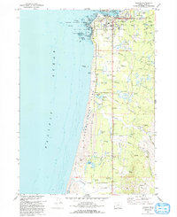
Editions of this 1970 Bandon Map
2 editions found
Other maps of this area

1896 · Coos Bay
USGS Topo · 1:125,000

1898 · Coos Bay
USGS Topo · 1:125,000

1899 · Port Orford
USGS Topo · 1:125,000

1900 · Coos Bay
USGS Topo · 1:125,000

1903 · Port Orford
USGS Topo · 1:125,000

1943 · Bandon
USGS Topo · 1:62,500

1944 · Bandon
USGS Topo · 1:62,500

1954 · Coos Bay
USGS Topo · 1:250,000

1954 · Cape Blanco
USGS Topo · 1:62,500

1954 · Langlois
USGS Topo · 1:62,500