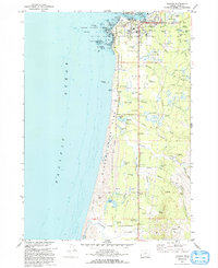
1970 Map of Bandon
USGS Topo · Published 1993About this map
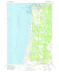
The Coquille River meets the Pacific Ocean at the town of Bandon, where the local economy and landscape are shaped by coastal agriculture and marine navigation. Numerous Cranberry Bogs dot the lowlands south of the town center, particularly around Johnson Creek and Crooked Creek, illustrating the area's specialized farming history. Near the river mouth, a Lighthouse and the Lifeboat Station US Coast Guard Reservation emphasize the importance of the harbor entrance, while offshore, the Oregon Islands National Wildlife Refuge encompasses distinctive sea stacks like Face Rock and Haystack Rock. Further south, the map details smaller settlements and rural landmarks such as Laurel Grove and the Millard Sch, alongside natural features like Bradley Lake and the extensive Sand Dunes within Bandon State Park.
Find a feature on this map
65 named features on this map. Tap any name to fly to it.
Don’t see what you’re looking for? This feature index may not catch every label — zoom into the map to look around manually.
Map Details
Editions of this 1970 Bandon Map
2 editions found
Other maps of this area

1896 · Coos Bay
USGS Topo · 1:125,000

1898 · Coos Bay
USGS Topo · 1:125,000

1899 · Port Orford
USGS Topo · 1:125,000

1900 · Coos Bay
USGS Topo · 1:125,000

1903 · Port Orford
USGS Topo · 1:125,000

1943 · Bandon
USGS Topo · 1:62,500

1944 · Bandon
USGS Topo · 1:62,500

1954 · Coos Bay
USGS Topo · 1:250,000

1954 · Cape Blanco
USGS Topo · 1:62,500

1954 · Langlois
USGS Topo · 1:62,500