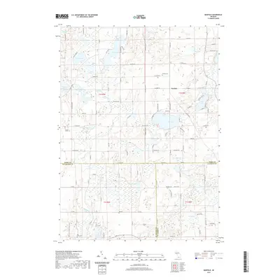
2019 Map of Banfield
USGS Topo · Published 2019About this map
Banfield stands as the central settlement in a glaciated landscape defined by an intricate network of kettle lakes and wetlands at the intersection of Barry, Kalamazoo, and Calhoun counties. The terrain is marked by significant water bodies such as Fine Lake, which features the named Indian Isle, and the clustered waters of Gilkey Lake, Little Gilkey Lake, and Shallow Gilkey Lake. This 2019 survey documents a rural landscape where local history is preserved in numerous burial grounds, including Banfield Cem, Hickory Corners Cem, Hamilton Cem, and Day Cem.
Find a feature on this map
114 named features on this map. Tap any name to fly to it.
Don’t see what you’re looking for? This feature index may not catch every label — zoom into the map to look around manually.
Map Details
Editions of this 2019 Banfield Map
This is the sole edition of this map. No revisions or reprints were ever made.
Other maps of this area

1918 · Battle Creek
USGS Topo · 1:62,500

1918 · Galesburg
USGS Topo · 1:62,500

1943 · Battle Creek
USGS Topo · 1:62,500

1944 · Galesburg
USGS Topo · 1:62,500

1947 · Augusta
USGS Topo · 1:24,000

1947 · Delton
USGS Topo · 1:24,000

1947 · Galesburg
USGS Topo · 1:24,000

1947 · Banfield
USGS Topo · 1:24,000

1947 · Bedford
USGS Topo · 1:24,000

1947 · Battle Creek
USGS Topo · 1:24,000