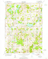
1947 Map of Banfield
USGS Topo · Published 1955About this map
Glacial lakes and marshy lowlands dominate this postwar landscape where the borders of Barry, Kalamazoo, and Calhoun Counties meet. The village of Banfield serves as a central hub, flanked by its namesake Banfield Sch and Banfield Cem. To the west, Hickory Corners anchors a region characterized by numerous water bodies like Gilkey Lake and Fair Lake. The map reveals a mid-century rural economy shifting toward recreation, evidenced by the development at Poplar Beach on the shores of Fine Lake.
Find a feature on this map
47 named features on this map. Tap any name to fly to it.
Don’t see what you’re looking for? This feature index may not catch every label — zoom into the map to look around manually.
Map Details
Editions of this 1947 Banfield Map
This is the sole edition of this map. No revisions or reprints were ever made.
Other maps of this area
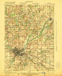
1918 · Battle Creek
USGS Topo · 1:62,500
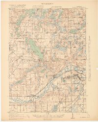
1918 · Galesburg
USGS Topo · 1:62,500
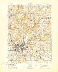
1943 · Battle Creek
USGS Topo · 1:62,500
1944 · Galesburg
USGS Topo · 1:62,500
1947 · Augusta
USGS Topo · 1:24,000
1947 · Delton
USGS Topo · 1:24,000
1947 · Galesburg
USGS Topo · 1:24,000
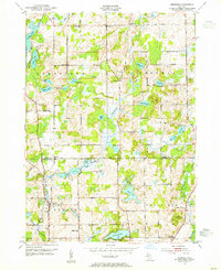
1947 · Bedford
USGS Topo · 1:24,000
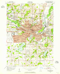
1947 · Battle Creek
USGS Topo · 1:24,000
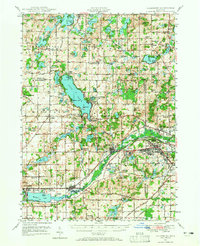
1947 · Galesburg
USGS Topo · 1:62,500