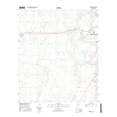
2016 Map of Bangs East
USGS Topo · Published 2016About this map
Brownwood and its western outskirts are defined by an extensive network of water management and rural infrastructure. The landscape is characterized by numerous small reservoirs, including Soil Conservation Service Site 5 Reservoir and Soil Conservation Service Site 2 Reservoir, which highlight the region's historical efforts to manage drainage across the Texas plains. The Brownwood Water Supply Canal winds toward the city center, while Clear Cr and its tributaries, such as W Fork Clear Cr, dominate the western drainage patterns.
Find a feature on this map
85 named features on this map. Tap any name to fly to it.
Don’t see what you’re looking for? This feature index may not catch every label — zoom into the map to look around manually.
Map Details
Editions of this 2016 Bangs East Map
This is the sole edition of this map. No revisions or reprints were ever made.
Other maps of this area

1887 · Coleman
USGS Topo · 1:125,000

1889 · Brownwood
USGS Topo · 1:125,000

1889 · Coleman
USGS Topo · 1:125,000

1894 · Brownwood
USGS Topo · 1:125,000

1924 · Brownwood Reservoir Site
USGS Topo · 1:48,000

1925 · Brownwood 3-b
USGS Topo · 1:48,000

1927 · Grosvenor
USGS Topo · 1:62,500

1928 · Zephyr
USGS Topo · 1:62,500

1950 · Zephyr
USGS Topo · 1:62,500

1954 · Brownwood
USGS Topo · 1:250,000