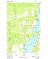
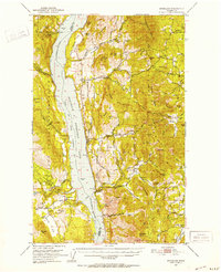
1969 Map of Bangs Mountain
USGS Topo · Published 1978About this map
Lake Roosevelt and the Columbia River dominate the eastern landscape of this Ferry County region, marking the edge of the Coulee Dam National Recreation Area. The topography rises sharply from the water's edge toward the summit of Bangs Mountain, a landscape carved by drainage systems like Sherman Creek and Martin Creek. High-elevation activity is evidenced by the presence of the Acme Mine and Alma Mine near the southern boundary, while early infrastructure is preserved in the form of the Flume Road and various jeep trails throughout the Colville National Forest. A small Cem (cemetery) and scattered homesteads like Mel and Foster reflect the sparse but enduring mountain settlements of the late 1960s. Waterfront landmarks such as Rickey Point and Sherman Creek Point provide specific shoreline reference points for the area's transition into a major recreational corridor.
Find a feature on this map
45 named features on this map. Tap any name to fly to it.
Don’t see what you’re looking for? This feature index may not catch every label — zoom into the map to look around manually.
Map Details
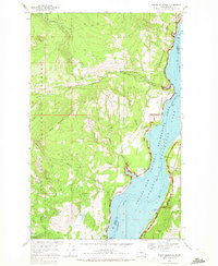
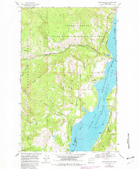
Editions of this 1969 Bangs Mountain Map
3 editions found
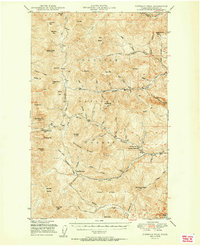
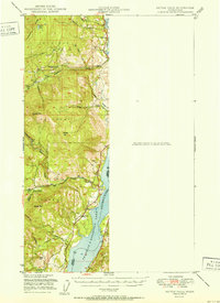
Other maps of this area

1936 · Marcus
USGS Topo · 1:96,000

1942 · Marcus
USGS Topo · 1:125,000
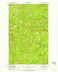
1948 · Sherman Peak
USGS Topo · 1:62,500

1948 · Kettle Falls
USGS Topo · 1:62,500
1950 · Inchelium
USGS Topo · 1:62,500
1951 · Sherman Peak
USGS Topo · 1:62,500
1951 · Kettle Falls
USGS Topo · 1:62,500
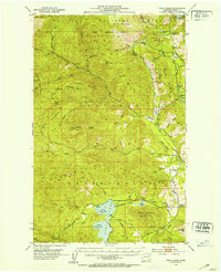
1952 · Twin Lakes
USGS Topo · 1:62,500

1954 · Okanogan
USGS Topo · 1:250,000

1958 · Okanogan
USGS Topo · 1:250,000