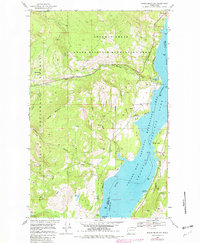
1969 Map of Bangs Mountain
USGS Topo · Published 1982About this map
Lake Roosevelt dominates the eastern landscape of this 1960s survey, representing the massive impoundment behind the Coulee Dam. The map documents the interface between the high western peaks of the Colville National Forest and the submerged river valley, where landforms like French Point and Rickey Point extend into the water. Settlement is sparse, limited to the small cluster at Finley and recreational sites like the Sherman Creek Campground. In the southern hills, the Acme Mine and Alma Mine point to the region's mineral history near Bald Hill. The terrain is deeply incised by drainages such as Sherman Creek and Cougar Canyon, which flow toward the reservoir. A small Cem near the mouth of an unnamed spring provides a specific point of interest for local genealogists tracing early families along the old river terrace.
Find a feature on this map
37 named features on this map. Tap any name to fly to it.
Don’t see what you’re looking for? This feature index may not catch every label — zoom into the map to look around manually.
Map Details
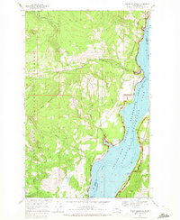
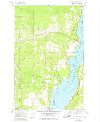
Editions of this 1969 Bangs Mountain Map
3 editions found
Other maps of this area

1936 · Marcus
USGS Topo · 1:96,000

1942 · Marcus
USGS Topo · 1:125,000

1948 · Sherman Peak
USGS Topo · 1:62,500

1948 · Kettle Falls
USGS Topo · 1:62,500

1950 · Inchelium
USGS Topo · 1:62,500

1951 · Sherman Peak
USGS Topo · 1:62,500

1951 · Kettle Falls
USGS Topo · 1:62,500

1952 · Twin Lakes
USGS Topo · 1:62,500

1954 · Okanogan
USGS Topo · 1:250,000

1958 · Okanogan
USGS Topo · 1:250,000