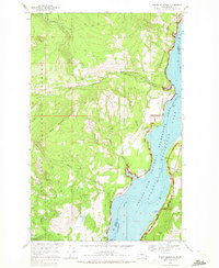
1969 Map of Bangs Mountain
USGS Topo · Published 1972About this map
The Columbia River corridor dominates this late-1960s landscape, defined by the expansive Franklin D Roosevelt Lake and the Coulee Dam National Recreation Area. While much of the terrain is governed by the Colville National Forest, evidence of early extraction and settlement remains visible. In the southeast corner, the Alma Mine and Xema Mine sit near the water’s edge, while a lonely Cem (cemetery) is perched overlooking the river valley north of French Point.
Find a feature on this map
36 named features on this map. Tap any name to fly to it.
Don’t see what you’re looking for? This feature index may not catch every label — zoom into the map to look around manually.
Map Details
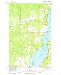
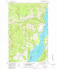
Editions of this 1969 Bangs Mountain Map
3 editions found
Other maps of this area

1936 · Marcus
USGS Topo · 1:96,000

1942 · Marcus
USGS Topo · 1:125,000

1948 · Sherman Peak
USGS Topo · 1:62,500

1948 · Kettle Falls
USGS Topo · 1:62,500

1950 · Inchelium
USGS Topo · 1:62,500

1951 · Sherman Peak
USGS Topo · 1:62,500

1951 · Kettle Falls
USGS Topo · 1:62,500

1952 · Twin Lakes
USGS Topo · 1:62,500

1954 · Okanogan
USGS Topo · 1:250,000

1958 · Okanogan
USGS Topo · 1:250,000