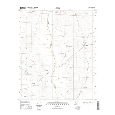
2014 Map of Banks
USGS Topo · Published 2014About this map
Moro Cr defines the winding boundary between Calhoun and Bradley counties, weaving through a landscape of timberlands and rural drainage basins. The small town of Banks serves as a local hub near the eastern edge, where the evocatively named Buck Fever HWY intersects with secondary routes. To the south, the community of Summerville sits near Harrell Lake, while the settlement of Lanark anchors the southeastern corner of the quadrangle.
Find a feature on this map
67 named features on this map. Tap any name to fly to it.
Don’t see what you’re looking for? This feature index may not catch every label — zoom into the map to look around manually.
Map Details
Editions of this 2014 Banks Map
This is the sole edition of this map. No revisions or reprints were ever made.
Other maps of this area

1934 · Ingalls
USGS Topo · 1:48,000

1934 · Moro Bay
USGS Topo · 1:62,500

1937 · Ingalls
USGS Topo · 1:62,500

1938 · Moro Bay
USGS Topo · 1:62,500

1939 · Moro Bay
USGS Topo · 1:62,500

1939 · Ingalls
USGS Topo · 1:62,500

1953 · El Dorado
USGS Topo · 1:250,000

1957 · El Dorado
USGS Topo · 1:250,000

1958 · El Dorado
USGS Topo · 1:250,000

1960 · El Dorado
USGS Topo · 1:250,000