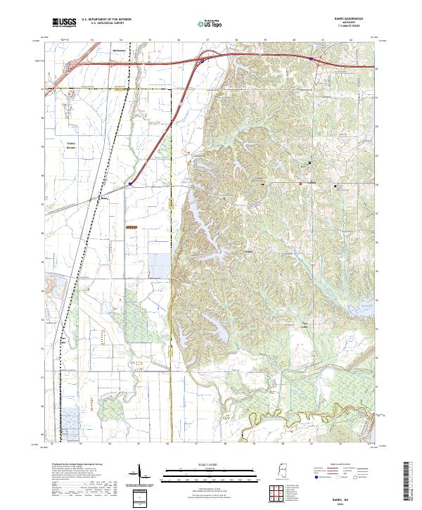
2024 Map of Banks
USGS Topo · Published 2024About this map
The lowlands of the Mississippi Delta meet the bluffs of DeSoto County in this detailed modern record of the land south of Memphis. The transition from the flat, ditch-drained agricultural plains of Tunica Resorts and Banks to the rising terrain of the loess bluffs is marked by the course of Whites Creek and the southern edge of Chief Chisca Lake. This boundary is a focal point for local history, where the grid-like plantation roads of the bottoms give way to winding residential lanes like Rainbow Dr and Tecumseh Bluff near Lake Mussacuma.
Find a feature on this map
86 named features on this map. Tap any name to fly to it.
Don’t see what you’re looking for? This feature index may not catch every label — zoom into the map to look around manually.
Map Details
Editions of this 2024 Banks Map
This is the sole edition of this map. No revisions or reprints were ever made.
Other maps of this area

1908 · Hollywood
USGS Topo · 1:24,000

1908 · Lake Cormorant
USGS Topo · 1:24,000

1912 · Lake Cormorant
USGS Topo · 1:31,680

1913 · Hollywood
USGS Topo · 1:31,680

1931 · Horseshoe Lake
USGS Topo · 1:62,500

1932 · Horn Lake
USGS Topo · 1:48,000

1932 · Crenshaw
USGS Topo · 1:62,500

1935 · Crenshaw
USGS Topo · 1:62,500

1935 · Horn Lake
USGS Topo · 1:62,500

1939 · Clayton
USGS Topo · 1:62,500