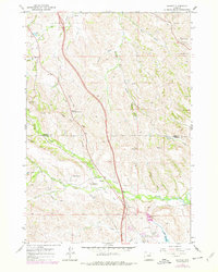
1967 Map of Banner
USGS Topo · Published 1978About this map
Fort Phil Kearny (Historical Site) anchors the southern portion of this landscape, marking a pivotal location in the conflicts of the 1860s. The terrain is deeply tied to military history, with Massacre Hill and Lodge Trail Ridge rising near the Fetterman Monument, documenting the site of the Fetterman Fight along the historic Bozeman Trail route. The map shows the transition from these high-relief ridges down toward the productive valley of Piney Creek.
Find a feature on this map
45 named features on this map. Tap any name to fly to it.
Don’t see what you’re looking for? This feature index may not catch every label — zoom into the map to look around manually.
Map Details
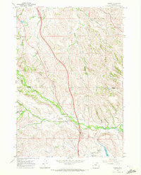
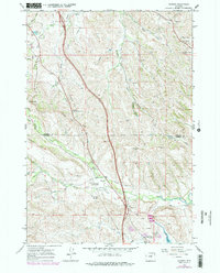
Editions of this 1967 Banner Map
3 editions found
Other maps of this area

1900 · Fort McKinney
USGS Topo · 1:125,000

1903 · Fort McKinney
USGS Topo · 1:125,000

1909 · Sheridan
USGS Topo · 1:125,000

1911 · Sheridan
USGS Topo · 1:125,000

1955 · Sheridan
USGS Topo · 1:250,000

1958 · Sheridan
USGS Topo · 1:250,000

1962 · Sheridan
USGS Topo · 1:250,000

1967 · Buffalo Run Creek
USGS Topo · 1:24,000

1967 · Lake De Smet West
USGS Topo · 1:24,000
1967 · Stone Mountain
USGS Topo · 1:24,000