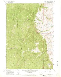
1967 Map of Stone Mountain
USGS Topo · Published 1971About this map
Bighorn National Forest dominates this landscape, where steep slopes and high-altitude drainage systems define the geography. The map shows a sophisticated network of water management and access, featuring several segments of ditch infrastructure alongside a Gaging Sta on Rock Creek. These human modifications contrast with the numerous established transit lines, including a significant Jeep Trail and various Pack Trails that navigate the varied terrain around Stone Mountain.
Find a feature on this map
30 named features on this map. Tap any name to fly to it.
Don’t see what you’re looking for? This feature index may not catch every label — zoom into the map to look around manually.
Map Details
Editions of this 1967 Stone Mountain Map
2 editions found
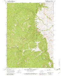
Other maps of this area

1895 · Dayton
USGS Topo · 1:125,000

1899 · Cloud peak
USGS Topo · 1:125,000

1900 · Fort McKinney
USGS Topo · 1:125,000

1901 · Cloud Peak
USGS Topo · 1:125,000

1901 · Dayton
USGS Topo · 1:125,000

1903 · Fort McKinney
USGS Topo · 1:125,000

1909 · Sheridan
USGS Topo · 1:125,000

1911 · Sheridan
USGS Topo · 1:125,000

1955 · Sheridan
USGS Topo · 1:250,000

1958 · Sheridan
USGS Topo · 1:250,000