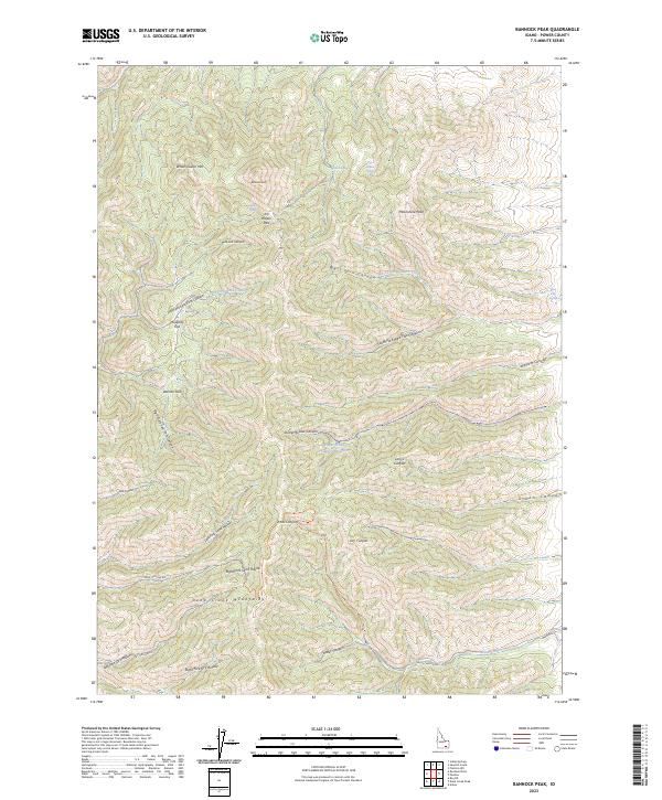
2023 Map of Bannock Peak
USGS Topo · Published 2023About this map
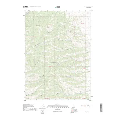
Bannock Peak and White Quartz Mtn dominate this high-elevation landscape within the Deep Creek Mountains of Power County. The terrain is defined by a complex network of canyons and drainages, including the Left Fork East Fork Canyon and the South Fork West Fork Canyon. Between these steep grades, level areas such as Howard Flat and Warner Flat provide rare breaks in the topography. Numerous water sources are charted across the slopes, from Cabin Springs and Bannock Spring to the Upper Stump Canyon Reservoir. Historically named landmarks like Jim Brown Pass and Moonshine Peak suggest the early routes and human activities that once traversed these mountain ridges. Rural infrastructure is sparse, limited to primitive routes like Sand Hollow Rd and Knox Canyon Rd that follow the natural contours of the desert canyons.
Find a feature on this map
42 named features on this map. Tap any name to fly to it.
Don’t see what you’re looking for? This feature index may not catch every label — zoom into the map to look around manually.
Map Details
Editions of this 2023 Bannock Peak Map
2 editions found
Other maps of this area

1934 · Rockland
USGS Topo · 1:62,500

1937 · Rockland
USGS Topo · 1:62,500

1938 · Pauline
USGS Topo · 1:48,000

1944 · Arbon
USGS Topo · 1:62,500

1954 · Pocatello
USGS Topo · 1:250,000

1958 · Pocatello
USGS Topo · 1:250,000

1971 · Rockland East
USGS Topo · 1:24,000

1971 · Bannock Peak
USGS Topo · 1:24,000
1971 · Flatiron Hill
USGS Topo · 1:24,000
1971 · Sawmill Creek
USGS Topo · 1:24,000