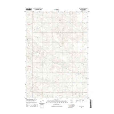
2014 Map of Bar V Ranch
USGS Topo · Published 2014About this map
Bar V Ranch sits at the heart of this Big Horn County landscape, where the drainage systems of Squirrel Creek and Youngs Creek carve through the Montana terrain. The map documents a sophisticated network of springs, such as 08S38E31CAD01 Spring and 09S38E22CBB 01 Spring, which serve as vital water sources in this arid region. These natural features are connected by established ranch roads including Youngs Creek Rd and Tanner Creek Rd, reflecting the long-standing agricultural and ranching heritage of the area.
Find a feature on this map
19 named features on this map. Tap any name to fly to it.
Don’t see what you’re looking for? This feature index may not catch every label — zoom into the map to look around manually.
Map Details
Editions of this 2014 Bar V Ranch Map
This is the sole edition of this map. No revisions or reprints were ever made.
Other maps of this area

1894 · Rosebud
USGS Topo · 1:125,000

1895 · Dayton
USGS Topo · 1:125,000

1901 · Rosebud
USGS Topo · 1:125,000

1901 · Dayton
USGS Topo · 1:125,000

1909 · Sheridan
USGS Topo · 1:125,000

1911 · Sheridan
USGS Topo · 1:125,000

1954 · Hardin
USGS Topo · 1:250,000

1955 · Sheridan
USGS Topo · 1:250,000

1957 · Hardin
USGS Topo · 1:250,000

1958 · Hardin
USGS Topo · 1:250,000