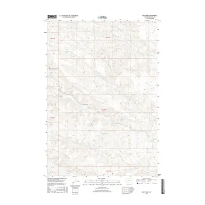
2017 Map of Bar V Ranch
USGS Topo · Published 2017About this map
Bar V Ranch serves as a primary landmark in this corner of Big Horn County, situated within a complex system of drainages that define the local geography. The area's hydrology is characterized by numerous small waterways, including the upper reaches of Squirrel Cr, its N Fork Squirrel Cr, and the winding Tanner Cr. Further south, the landscape is shaped by the presence of Youngs Cr and Little Youngs Cr, with a handful of mapped springs, such as 90S38E22CBB-01 Spring, indicating reliable water sources in this high plains environment. Transportation infrastructure is limited to rugged routes like Youngs Creek Rd and Canal Rd, reflecting the ranching-focused economy of this portion of Montana. The map provides a clear record of the public land survey system divisions, including t8s r38e and t9s r38e.
Find a feature on this map
18 named features on this map. Tap any name to fly to it.
Don’t see what you’re looking for? This feature index may not catch every label — zoom into the map to look around manually.
Map Details
Editions of this 2017 Bar V Ranch Map
This is the sole edition of this map. No revisions or reprints were ever made.
Other maps of this area

1894 · Rosebud
USGS Topo · 1:125,000

1895 · Dayton
USGS Topo · 1:125,000

1901 · Rosebud
USGS Topo · 1:125,000

1901 · Dayton
USGS Topo · 1:125,000

1909 · Sheridan
USGS Topo · 1:125,000

1911 · Sheridan
USGS Topo · 1:125,000

1954 · Hardin
USGS Topo · 1:250,000

1955 · Sheridan
USGS Topo · 1:250,000

1957 · Hardin
USGS Topo · 1:250,000

1958 · Hardin
USGS Topo · 1:250,000