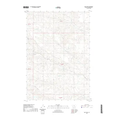
2020 Map of Bar V Ranch
USGS Topo · Published 2020About this map
Bar V Ranch serves as a primary landmark in this section of Big Horn County, situated within a complex system of drainages that define the local geography. The area is characterized by a dense network of watercourses, including Youngs Cr and its tributary Little Youngs Cr, which wind through the northern reaches of the Tongue River watershed. In the northern sections, Squirrel Cr and its N Fork Squirrel Cr dominate the terrain. Access through this rural landscape is facilitated by Youngs Creek Rd and Canal Rd, which navigate the contours between prominent drainages like Tanner Cr and Ash Cr. Several spring locations are recorded, indicating the hydrological importance of groundwater in this semi-arid environment during the early twenty-first century.
Find a feature on this map
18 named features on this map. Tap any name to fly to it.
Don’t see what you’re looking for? This feature index may not catch every label — zoom into the map to look around manually.
Map Details
Editions of this 2020 Bar V Ranch Map
This is the sole edition of this map. No revisions or reprints were ever made.
Other maps of this area

1894 · Rosebud
USGS Topo · 1:125,000

1895 · Dayton
USGS Topo · 1:125,000

1901 · Rosebud
USGS Topo · 1:125,000

1901 · Dayton
USGS Topo · 1:125,000

1909 · Sheridan
USGS Topo · 1:125,000

1911 · Sheridan
USGS Topo · 1:125,000

1954 · Hardin
USGS Topo · 1:250,000

1955 · Sheridan
USGS Topo · 1:250,000

1957 · Hardin
USGS Topo · 1:250,000

1958 · Hardin
USGS Topo · 1:250,000