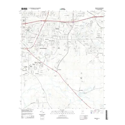
2014 Map of Barachias
USGS Topo · Published 2014About this map
Suburban development in south Montgomery transitions into the rural farmland of south-central Alabama, where historic homesteads and cemeteries define the landscape. The northern portion is densely populated with residential enclaves like Bellwood Plantation, Olde Acres, and Brighton Estates, while educational institutions such as Auburn University-Montgomery and Amridge Univ anchor the local community. Major thoroughfares including the Troy Hwy and Vaughn Rd facilitate the outward expansion of the city into the surrounding countryside.
Find a feature on this map
57 named features on this map. Tap any name to fly to it.
Don’t see what you’re looking for? This feature index may not catch every label — zoom into the map to look around manually.
Map Details
Editions of this 2014 Barachias Map
This is the sole edition of this map. No revisions or reprints were ever made.
Other maps of this area

1927 · Montgomery
USGS Topo · 1:48,000

1930 · Montgomery
USGS Topo · 1:62,500

1953 · Montgomery
USGS Topo · 1:250,000

1956 · Montgomery
USGS Topo · 1:250,000

1957 · Montgomery
USGS Topo · 1:250,000

1957 · Letohatchee
USGS Topo · 1:62,500

1958 · Montgomery
USGS Topo · 1:62,500

1958 · Montgomery North
USGS Topo · 1:24,000

1958 · Montgomery South
USGS Topo · 1:24,000

1958 · Mount Meigs
USGS Topo · 1:62,500