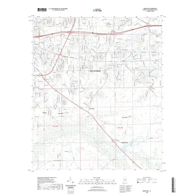
2020 Map of Barachias
USGS Topo · Published 2020About this map
Montgomery expands southeastward in this 2020 record, where the urban grid of the city meets the rural traditions of the county. The landscape is dotted with family and community burial grounds like Perrys Mill Cem, Pinkston Cem, and Ray Cem, providing a detailed record for genealogical research in the communities of Barachias and Pike Road. Higher education is a prominent feature of the local geography, with the campuses of Auburn University - Montgomery, Amridge University, and South University positioned near the primary transit corridors.
Find a feature on this map
250 named features on this map. Tap any name to fly to it.
Don’t see what you’re looking for? This feature index may not catch every label — zoom into the map to look around manually.
Map Details
Editions of this 2020 Barachias Map
This is the sole edition of this map. No revisions or reprints were ever made.
Other maps of this area

1927 · Montgomery
USGS Topo · 1:48,000

1930 · Montgomery
USGS Topo · 1:62,500

1953 · Montgomery
USGS Topo · 1:250,000

1956 · Montgomery
USGS Topo · 1:250,000

1957 · Montgomery
USGS Topo · 1:250,000

1957 · Letohatchee
USGS Topo · 1:62,500

1958 · Montgomery
USGS Topo · 1:62,500

1958 · Montgomery North
USGS Topo · 1:24,000

1958 · Montgomery South
USGS Topo · 1:24,000

1958 · Mount Meigs
USGS Topo · 1:62,500