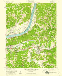
1957 Map of Barboursville
USGS Topo · Published 1959About this map
The Guyandotte River snakes through the landscape, joining the Ohio River at a crucial bend just west of Barboursville. This mid-century survey illustrates the residential expansion at East Pea Ridge and West Pea Ridge as the region's transport network matured. The infrastructure of the era is prominent, featuring Lock No 27 on the Ohio and the sprawling State Hospital grounds. Local community life is anchored by numerous institutions, from the County Fairgrounds near Rome to a high density of rural houses of worship like Missionary Ch and Rome Chapel. The convergence of the Baltimore and Ohio and Chesapeake and Ohio railroads underscores the importance of this river valley as a transportation corridor between Huntington and the interior coal and timber lands.
Find a feature on this map
75 named features on this map. Tap any name to fly to it.
Don’t see what you’re looking for? This feature index may not catch every label — zoom into the map to look around manually.
Map Details
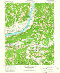
Editions of this 1957 Barboursville Map
2 editions found
Other maps of this area

1892 · Huntington
USGS Topo · 1:125,000

1898 · Huntington
USGS Topo · 1:125,000

1901 · Guyandot
USGS Topo · 1:62,500

1902 · Guyandot
USGS Topo · 1:62,500

1902 · Milton
USGS Topo · 1:62,500

1906 · Athalia
USGS Topo · 1:62,500

1906 · Glenwood
USGS Topo · 1:62,500

1908 · Athalia
USGS Topo · 1:62,500

1908 · Glenwood
USGS Topo · 1:62,500

1931 · Milton
USGS Topo · 1:62,500