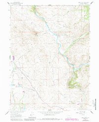
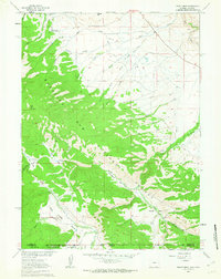
1961 Map of Barcus Peak
USGS Topo · Published 1984About this map
The North Platte River carves through this high-altitude landscape of Carbon County, anchoring a network of remote ranches and early industrial sites. In the southern reaches, the Golden Clover Mine and a series of nearby reservoirs, including Golden Clover Reservoir No 1 and Rollman Reservoir, indicate the area's mineral and water management history. Small settlement pockets like Sanger and family-operated holdings such as the Platt Ranch and Jenkins Ranch are scattered across the terrain, connected by primitive roads and drainage-based landmarks.
Find a feature on this map
42 named features on this map. Tap any name to fly to it.
Don’t see what you’re looking for? This feature index may not catch every label — zoom into the map to look around manually.
Map Details
Editions of this 1961 Barcus Peak Map
3 editions found
Other maps of this area

1906 · Medicine Bow
USGS Topo · 1:125,000

1908 · Medicine Bow
USGS Topo · 1:125,000

1939 · Saratoga
USGS Topo · 1:125,000

1954 · Rawlins
USGS Topo · 1:250,000

1958 · Rawlins
USGS Topo · 1:250,000
1961 · Elkhorn Point
USGS Topo · 1:24,000

1961 · Overlook Hill
USGS Topo · 1:24,000

1961 · Ryan Park
USGS Topo · 1:24,000

1961 · Gunst Reservoir
USGS Topo · 1:24,000
1961 · Trent Creek
USGS Topo · 1:24,000