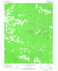
1965 Map of Bardley
USGS Topo · Published 1967About this map
Mark Twain National Forest dominates this mid-1960s landscape, where the dense timber of the Ozark Plateau is segmented by an intricate drainage system including North Fork Buffalo Creek and Terrible Creek. Settlement is sparse, clustered primarily around the small community of Bardley and the rural crossroads of Bennett. The map reveals a community structured around its local institutions, from the Pine Sch to several country congregations like Bardley Ch and Oak Ridge Ch.
Find a feature on this map
24 named features on this map. Tap any name to fly to it.
Don’t see what you’re looking for? This feature index may not catch every label — zoom into the map to look around manually.
Map Details
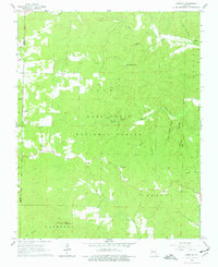
Editions of this 1965 Bardley Map
2 editions found
Other maps of this area

1939 · Doniphan
USGS Topo · 1:62,500

1941 · Gatewood
USGS Topo · 1:62,500

1944 · Van Buren
USGS Topo · 1:62,500

1944 · Grandin
USGS Topo · 1:62,500

1945 · Doniphan
USGS Topo · 1:62,500

1945 · Gatewood
USGS Topo · 1:62,500

1946 · Grandin
USGS Topo · 1:62,500

1946 · Van Buren
USGS Topo · 1:62,500

1957 · Poplar Bluff
USGS Topo · 1:250,000

1959 · Poplar Bluff
USGS Topo · 1:250,000