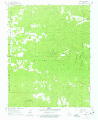
1965 Map of Bardley
USGS Topo · Published 1977About this map
The Mark Twain National Forest dominates this mid-1960s terrain, where the scattered settlements of Bardley and Pine occupy small clearings within a heavily dissected Ozark landscape. The presence of the Pine Sch and Bardley Ch indicates the enduring focal points of these small upland communities. Natural drainage is the defining physical characteristic, with the North Fork Buffalo Creek and South Fork Buffalo Creek carving deep valleys across the northern half of the sheet, while the North Fork Fourche Creek winds through the southern reaches. High points like Wolf Mountain provide strategic vantage, evidenced by the Briar Lookout Tower and a second Lookout Tower located along the eastern ridge lines. This era shows the area as a mix of conservation land and small-scale homesteads, centered on the corridor of U. S. Route 160.
Find a feature on this map
25 named features on this map. Tap any name to fly to it.
Don’t see what you’re looking for? This feature index may not catch every label — zoom into the map to look around manually.
Map Details
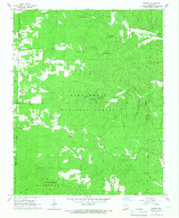
Editions of this 1965 Bardley Map
2 editions found
Other maps of this area

1939 · Doniphan
USGS Topo · 1:62,500

1941 · Gatewood
USGS Topo · 1:62,500

1944 · Van Buren
USGS Topo · 1:62,500

1944 · Grandin
USGS Topo · 1:62,500

1945 · Doniphan
USGS Topo · 1:62,500

1945 · Gatewood
USGS Topo · 1:62,500

1946 · Grandin
USGS Topo · 1:62,500

1946 · Van Buren
USGS Topo · 1:62,500

1957 · Poplar Bluff
USGS Topo · 1:250,000

1959 · Poplar Bluff
USGS Topo · 1:250,000