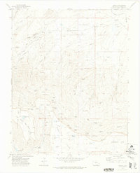
1971 Map of Barela
USGS Topo · Published 1974About this map
Barela and its surrounding high-country terrain define this 1971 survey of Las Animas County, where the southern Colorado landscape transitions into a series of massive mesas and deep canyons. The settlement itself sits near the Barela Cem and Hermosa Dam, connected to the wider region by the Southern railroad line. The map reveals a complex water system essential for high-altitude ranching, including Petes Lake, Lantin Lake, and the numbered basins of Lake No 1 through Lake No 3.
Find a feature on this map
77 named features on this map. Tap any name to fly to it.
Don’t see what you’re looking for? This feature index may not catch every label — zoom into the map to look around manually.
Map Details
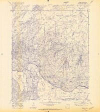
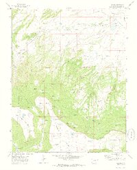
Editions of this 1971 Barela Map
3 editions found
Other maps of this area

1892 · Elmoro
USGS Topo · 1:125,000

1893 · Elmoro
USGS Topo · 1:125,000

1897 · Elmoro
USGS Topo · 1:125,000

1912 · Raton
USGS Topo · 1:62,500

1914 · Raton
USGS Topo · 1:62,500

1954 · Raton
USGS Topo · 1:250,000

1954 · Trinidad
USGS Topo · 1:250,000

1955 · Trinidad
USGS Topo · 1:250,000

1958 · Raton
USGS Topo · 1:250,000

1958 · Trinidad
USGS Topo · 1:250,000