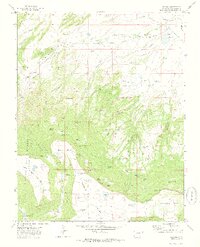
1971 Map of Barela
USGS Topo · Published 1974About this map
The settlement of Barela and its neighboring Barela Cem occupy the high plains of Las Animas County, where the southern reaches of Colorado meet a rugged network of mesas and deep canyons. This 1971 field-checked survey reveals an environment defined by high-altitude cattle ranching and early energy extraction, evidenced by numerous Gas Wells and the Mararski Mine. The topography is dominated by the massive landforms of Barela Mesa and Burro Mesa, which are incised by dramatic drainage systems like Ocana Canyon and Medina Canyon. Water management is critical in this arid terrain, shown through named improvements such as Hermosa Dam and remote stock-watering points like Dominguez Lake and Scavarda Lake. Significant landmarks for backcountry navigation include the Airway Beacon on Burro Mesa and the San Francisco Pass, providing a window into the infrastructure of the mid-20th-century American West.
Find a feature on this map
69 named features on this map. Tap any name to fly to it.
Don’t see what you’re looking for? This feature index may not catch every label — zoom into the map to look around manually.
Map Details
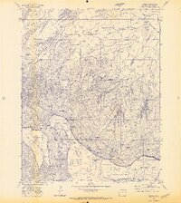
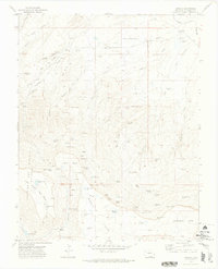
Editions of this 1971 Barela Map
3 editions found
Other maps of this area

1892 · Elmoro
USGS Topo · 1:125,000

1893 · Elmoro
USGS Topo · 1:125,000

1897 · Elmoro
USGS Topo · 1:125,000

1912 · Raton
USGS Topo · 1:62,500

1914 · Raton
USGS Topo · 1:62,500

1954 · Raton
USGS Topo · 1:250,000

1954 · Trinidad
USGS Topo · 1:250,000

1955 · Trinidad
USGS Topo · 1:250,000

1958 · Raton
USGS Topo · 1:250,000

1958 · Trinidad
USGS Topo · 1:250,000