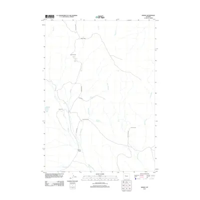
2012 Map of Bargee
USGS Topo · Published 2012About this map
Bargee Ranch and Bradford Ranch anchor this landscape of the High Plains, where ranching life is defined by a complex network of seasonal drainages and high passes. The terrain is marked by significant elevation changes, from the depths of Sagwup Draw to the crossing at Blondy Pass. Water management is critical in this arid environment, evidenced by the presence of Debatable Reservoir and Madden Reservoir.
Find a feature on this map
19 named features on this map. Tap any name to fly to it.
Don’t see what you’re looking for? This feature index may not catch every label — zoom into the map to look around manually.
Map Details
Editions of this 2012 Bargee Map
This is the sole edition of this map. No revisions or reprints were ever made.
Other maps of this area

1950 · Shotgun Butte
USGS Topo · 1:24,000

1951 · Eagle Point
USGS Topo · 1:24,000

1951 · Maverick Spring
USGS Topo · 1:24,000

1952 · Antelope Ridge
USGS Topo · 1:24,000

1952 · Sheep Ridge
USGS Topo · 1:24,000

1952 · Bargee
USGS Topo · 1:24,000

1955 · Thermopolis
USGS Topo · 1:250,000

1958 · Thermopolis
USGS Topo · 1:250,000

1962 · Thermopolis
USGS Topo · 1:250,000
1965 · Embar
USGS Topo · 1:24,000