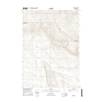
2015 Map of Bargee
USGS Topo · Published 2015About this map
The Owl Creek Mountains dominate the northern landscape of this Fremont County region, where the high elevation drops toward the drainage basins of the Wind River country. At Blondy Pass, the terrain transitions across the Hot Springs Co Fremont Co border. This area is defined by its water management and livestock history, centered on the settlement of Bargee and its namesake Bargee Reservoir. The network of seasonal watercourses, including Muddy Cr and Warm Springs Cr, highlights the importance of every reliable water source in this high-desert environment.
Find a feature on this map
24 named features on this map. Tap any name to fly to it.
Don’t see what you’re looking for? This feature index may not catch every label — zoom into the map to look around manually.
Map Details
Editions of this 2015 Bargee Map
This is the sole edition of this map. No revisions or reprints were ever made.
Other maps of this area

1950 · Shotgun Butte
USGS Topo · 1:24,000

1951 · Eagle Point
USGS Topo · 1:24,000

1951 · Maverick Spring
USGS Topo · 1:24,000

1952 · Antelope Ridge
USGS Topo · 1:24,000

1952 · Sheep Ridge
USGS Topo · 1:24,000

1952 · Bargee
USGS Topo · 1:24,000

1955 · Thermopolis
USGS Topo · 1:250,000

1958 · Thermopolis
USGS Topo · 1:250,000

1962 · Thermopolis
USGS Topo · 1:250,000
1965 · Embar
USGS Topo · 1:24,000