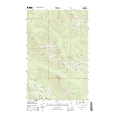
2017 Map of Baring
USGS Topo · Published 2017About this map
Baring sits at the confluence of the South Fork Skykomish River and Index Cr, serving as a focal point for this 2017 survey of the Central Cascades. The landscape is defined by the high peaks of the Snoqualmie National Forest, including the massive granite profile of Baring Mtn and the neighboring Merchant Peak. Transport through the area is primarily funneled along the river corridor, with routes like Index-Galena Rd and NFD Road 6024 providing access to the interior wilderness. Higher elevations are dotted with alpine waters such as Barclay Lake and the cluster of Tom Dick and Harry Lakes. The map also traces the Snohomish and King County line as it traverses the ridges between Gunn Peak and Townsend Mtn, illustrating the high-altitude boundaries that separate these two Washington counties.
Find a feature on this map
58 named features on this map. Tap any name to fly to it.
Don’t see what you’re looking for? This feature index may not catch every label — zoom into the map to look around manually.
Map Details
Editions of this 2017 Baring Map
This is the sole edition of this map. No revisions or reprints were ever made.
Other maps of this area

1902 · Skykomish
USGS Topo · 1:125,000

1905 · Skykomish
USGS Topo · 1:125,000

1921 · Sultan
USGS Topo · 1:125,000

1923 · Sultan
USGS Topo · 1:125,000

1957 · Index
USGS Topo · 1:62,500

1957 · Wenatchee
USGS Topo · 1:250,000

1960 · Mount Si
USGS Topo · 1:62,500

1965 · Evergreen Mtn
USGS Topo · 1:24,000

1965 · Grotto
USGS Topo · 1:24,000

1965 · Monte Cristo
USGS Topo · 1:24,000