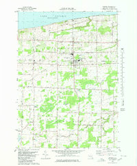
1980 Map of Barker
USGS Topo · Published 1980About this map
The village of Barker serves as a central hub for this Niagara County landscape, where the agricultural traditions of Somerset and Hartland meet the southern shore of Lake Ontario. In the early 1980s, the area maintained a distinct rural character defined by family-named routes like Quaker Road and Burgess Road. Educational and community life are anchored by the Barker Central School, which notably includes its own airport facility, reflecting the unique infrastructure needs of this lakeside community. Along the shoreline, seasonal and religious landmarks like Camp Kenan and the Somerset Memorial Tabernacle indicate a long history of recreational and spiritual use. Further inland, the map captures the transition from open farmland to small crossroads settlements like West Somerset and North Hartland, alongside the presence of modern utility through the Industrial Waste Ponds and local Gravel Pit operations.
Find a feature on this map
45 named features on this map. Tap any name to fly to it.
Don’t see what you’re looking for? This feature index may not catch every label — zoom into the map to look around manually.
Map Details
Editions of this 1980 Barker Map
This is the sole edition of this map. No revisions or reprints were ever made.
Other maps of this area

1897 · Olcott
USGS Topo · 1:62,500

1897 · Medina
USGS Topo · 1:62,500

1897 · Lockport
USGS Topo · 1:62,500

1897 · Ridgeway
USGS Topo · 1:62,500

1899 · Niagara
USGS Topo · 1:125,000

1902 · Lockport
USGS Topo · 1:62,500

1905 · Lockport
USGS Topo · 1:62,500

1948 · Lockport
USGS Topo · 1:62,500

1948 · Olcott
USGS Topo · 1:62,500
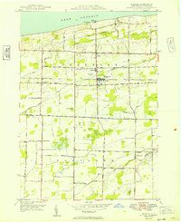
1949 · Barker
USGS Topo · 1:24,000