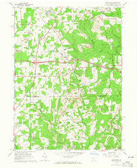
1963 Map of Barkeyville
USGS Topo · Published 1965About this map
The industrial extraction of natural resources defines this mid-century landscape where the Venango Co Butler Co line meets Mercer. Numerous Strip Mines and expansive Oil Fields dominate the topography, illustrating the heavy reliance on coal and oil in this region during the 1960s. Pockets of rural community life persist amidst the industrial activity, marked by small settlements like Barkeyville, Clintonville, and Nectarine.
Find a feature on this map
36 named features on this map. Tap any name to fly to it.
Don’t see what you’re looking for? This feature index may not catch every label — zoom into the map to look around manually.
Map Details
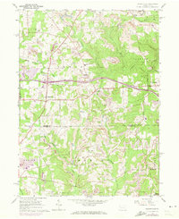
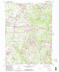
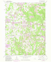
Editions of this 1963 Barkeyville Map
4 editions found
Other maps of this area

1909 · Franklin
USGS Topo · 1:62,500

1910 · Hilliards
USGS Topo · 1:62,500

1911 · Franklin
USGS Topo · 1:62,500

1911 · Stoneboro
USGS Topo · 1:62,500

1912 · Hilliards
USGS Topo · 1:62,500

1913 · Stoneboro
USGS Topo · 1:62,500

1913 · Mercer
USGS Topo · 1:62,500

1939 · Mercer
USGS Topo · 1:62,500

1943 · Mercer
USGS Topo · 1:62,500

1943 · Stoneboro
USGS Topo · 1:62,500