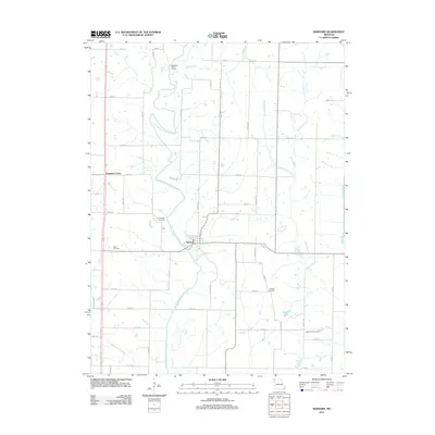
2011 Map of Barnard
USGS Topo · Published 2011About this map
Barnard and the smaller settlement of Pumpkin Center are the primary focal points of this 2011 survey of Grant Township. The landscape is defined by the winding course of the One Hundred and Two River, which meanders south through the center of the quadrangle, joined by tributaries such as Dog Branch and Upper Neely Branch. This drainage system, along with the Platte River to the east, historically shaped the agricultural development and road network of the county.
Find a feature on this map
44 named features on this map. Tap any name to fly to it.
Don’t see what you’re looking for? This feature index may not catch every label — zoom into the map to look around manually.
Map Details
Editions of this 2011 Barnard Map
This is the sole edition of this map. No revisions or reprints were ever made.
Other maps of this area

1925 · Stanberry
USGS Topo · 1:62,500

1927 · Bolckow
USGS Topo · 1:62,500

1939 · Stanberry
USGS Topo · 1:62,500

1940 · Parnell
USGS Topo · 1:62,500

1943 · Parnell
USGS Topo · 1:62,500

1943 · Maryville
USGS Topo · 1:62,500

1943 · Stanberry
USGS Topo · 1:62,500

1945 · Bolckow
USGS Topo · 1:62,500

1955 · Nebraska City
USGS Topo · 1:250,000

1957 · Nebraska City
USGS Topo · 1:250,000